With iTowns, build your own geographic service!
Open source
iTowns is based on an open governance that allows everyone to contribute.
Multiple format support
- 3D Tiles
- Mapbox Vector Tiles
- Raster: elevation and imagery streams, Geotiff and COG
- Point clouds: Potree, EPT, COPC, las
Multiple use-case
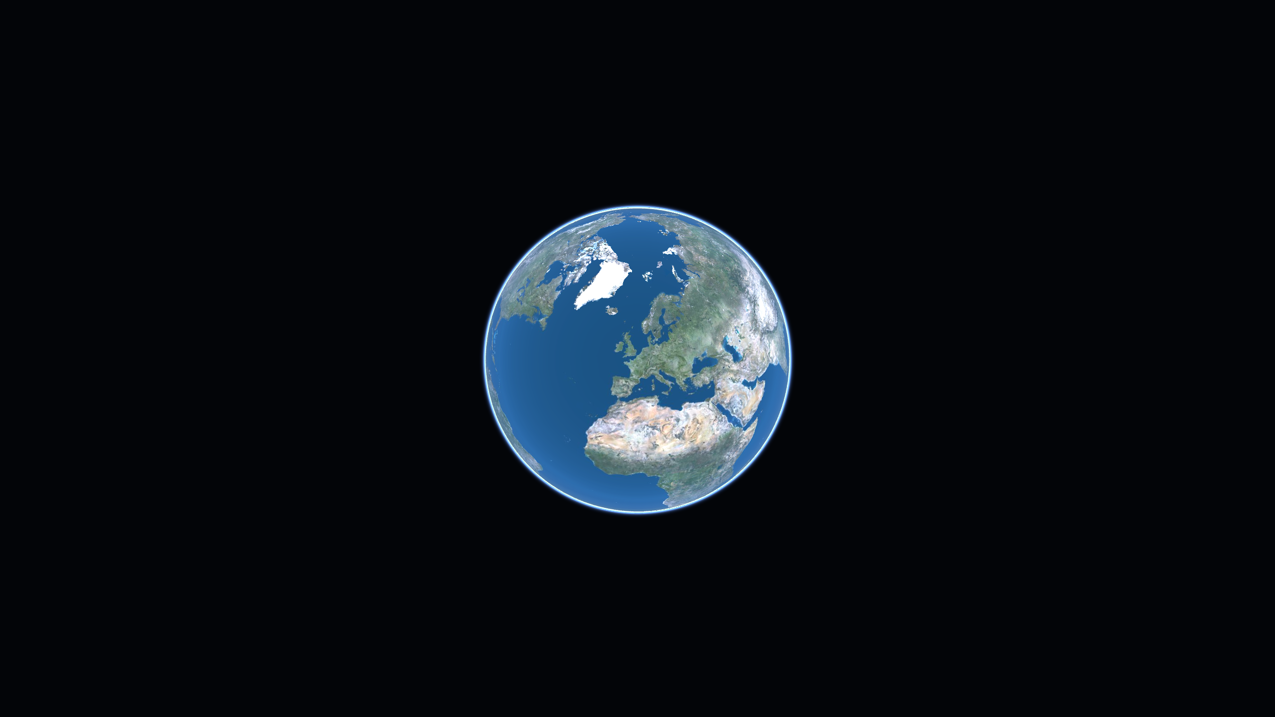
Planar viewer
Visualize data in a local projected Coordinates Reference System. Here, we display data in RGF93/Lambert93 CRS.
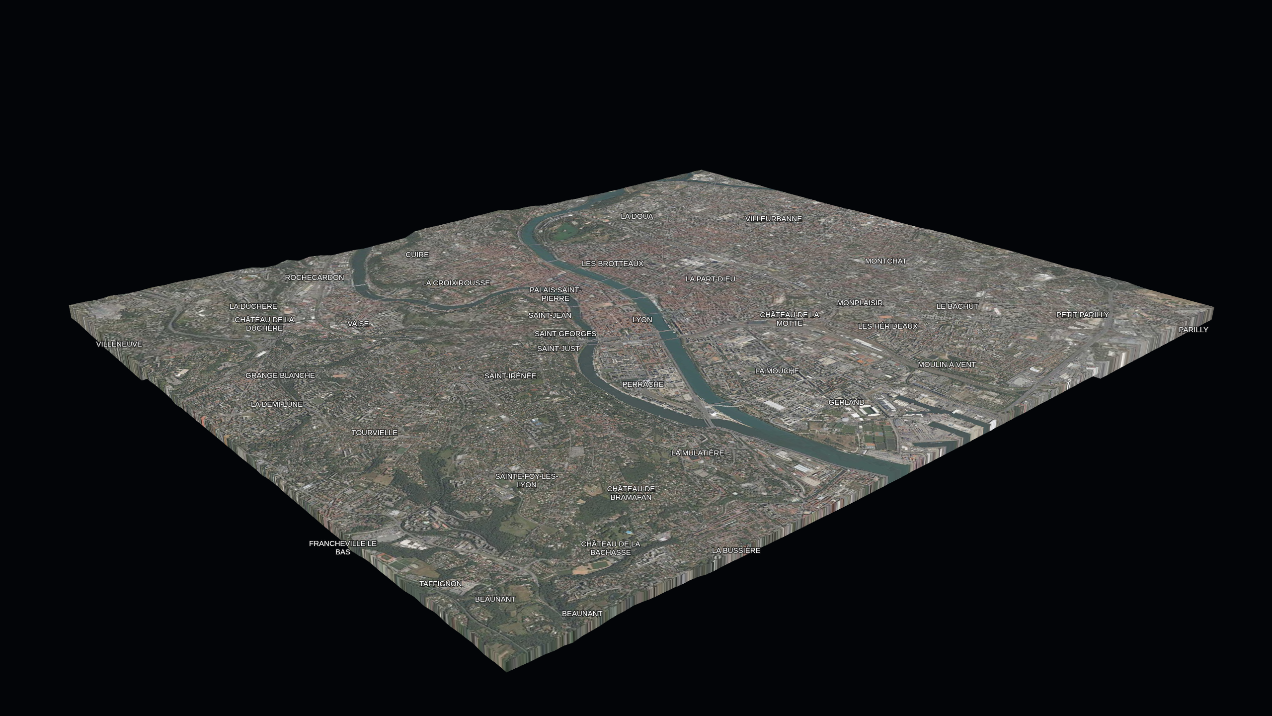
Test the exampleVector Tiles viewer
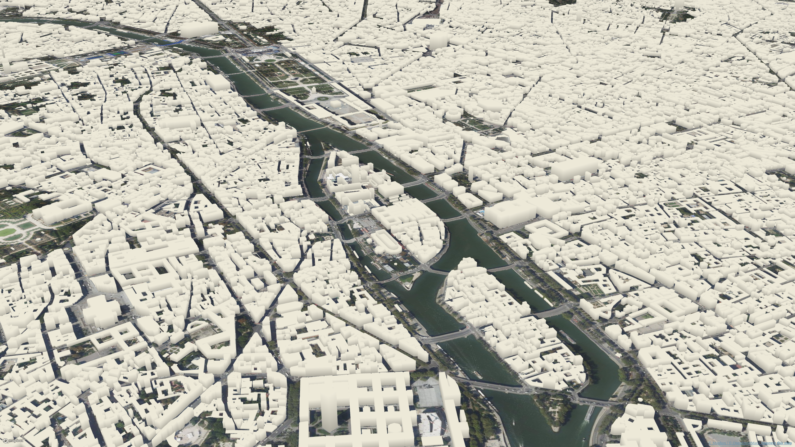
Visualize Vector Tiles data. Here we display polygons for the holds of buildings and extrude them, their height being extracted from data.
Test the example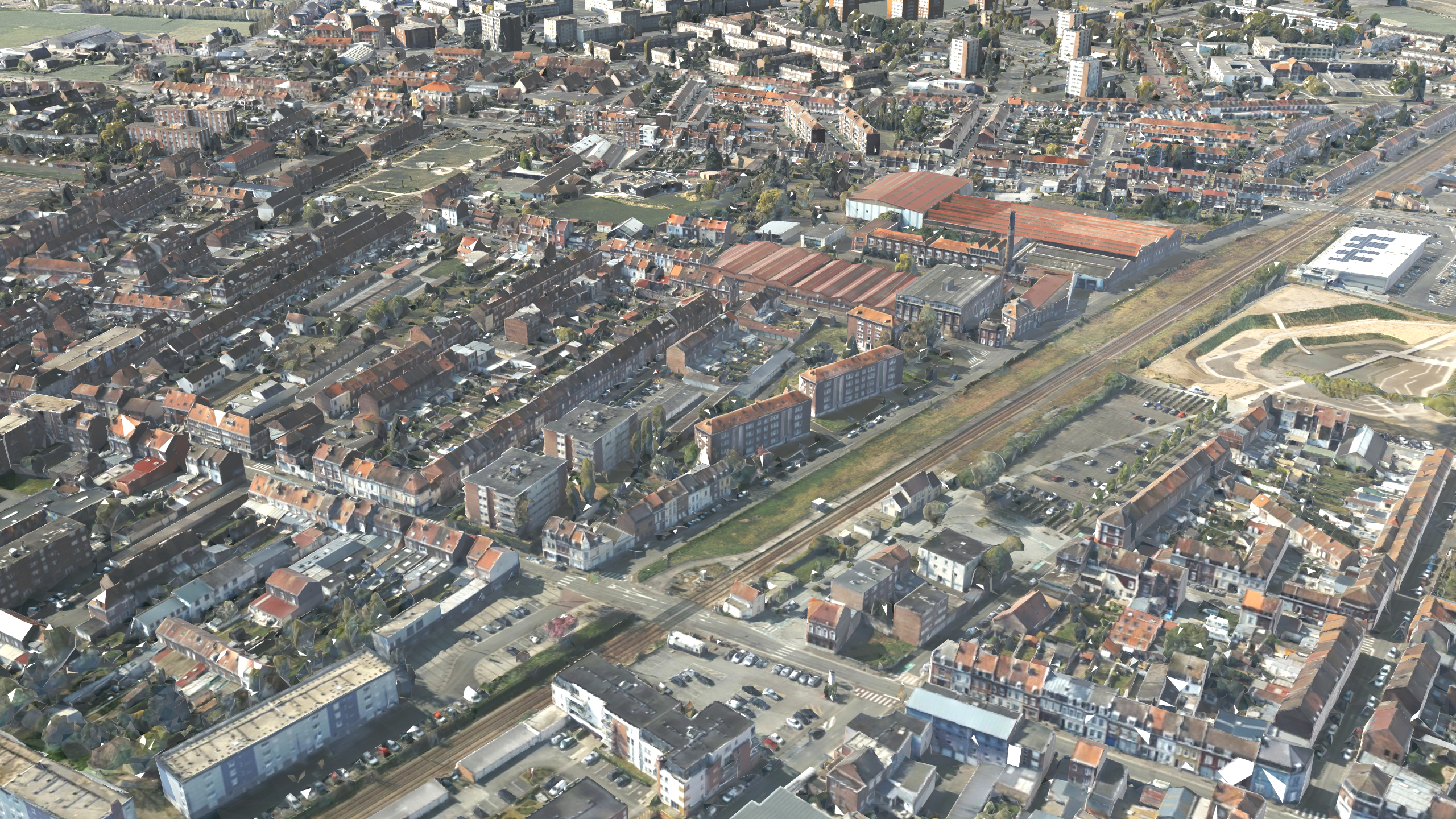
Point cloud viewer
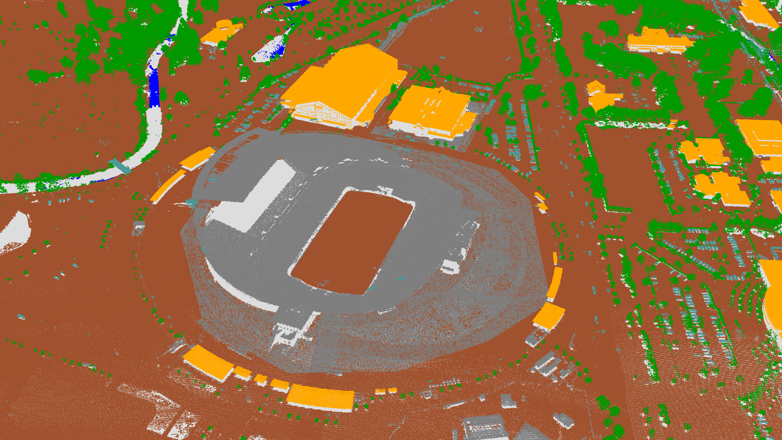
Visualize point cloud data and style it as you wish. Here we display COPC data colored from its classification.
Test the exampleRaster data viewer
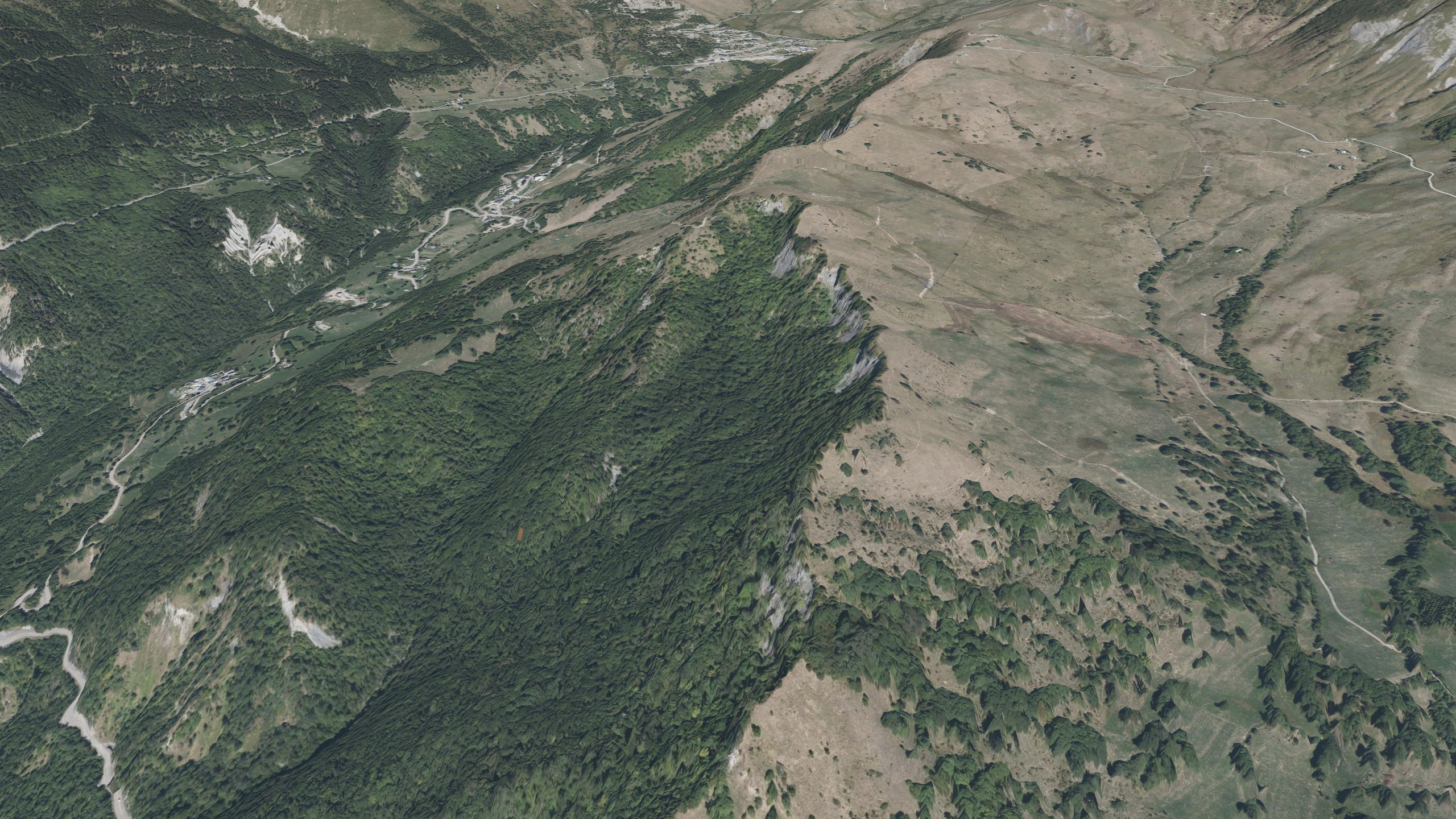
Visualize raster data. Here we display some ortho-images as well as a Digital Surface Model.
Test the example